QUICK RELEASE BRACKET,HD,COMP,WHITE
September 2, 2026
Garmin Navionics+™ Updates Card (Blank)
September 2, 2026
Original price was: $16,740.00.$16,000.00Current price is: $16,000.00.
NAVIONICS+ | Aegean Sea & Sea of Marmara
Stock: available
Garmin Navionics+™ – Aegean Sea & Sea of Marmara
Overview
The Garmin Navionics+™ – Aegean Sea & Sea of Marmara chart provides detailed marine cartography for recreational and professional navigation across the Aegean Sea and the Sea of Marmara. Designed for compatible Garmin chartplotters, it delivers accurate coastal coverage, navigational aids, depth contours, and marina information to enhance situational awareness and route planning.
Featuring Garmin Navionics+ mapping technology, the chart includes high-resolution bathymetric data, Auto Guidance+™ technology (where supported), and regular chart updates through the Garmin Chart Installer. It is an ideal solution for cruising, sailing, fishing, and coastal navigation throughout the region.
Main Features
- Detailed coverage of the Aegean Sea and Sea of Marmara
- Compatible with supported Garmin chartplotters
- High-resolution coastal and inland marine cartography
- Up to 0.5 m (1 ft) HD depth contours in selected areas
- Auto Guidance+™ technology (compatible devices required)
- Daily chart updates for one year
- Integrated navigation aids and marine services
- Detailed marina, harbor, and port information
- Supports fishing, cruising, and route planning
- Delivered on microSD™/SD™ card
Specifications
| Specification | Value |
|---|---|
| Brand | Garmin |
| Product Series | Navionics+™ |
| Product Type | Marine Chart |
| Part Number | 010-C1319-30 |
| Chart Code | NAEU015R |
| Coverage Area | Aegean Sea & Sea of Marmara |
| Media Type | microSD™ / SD™ Card |
| Compatible Devices | Compatible Garmin Chartplotters |
| Bathymetry | High-Resolution Depth Contours |
| Auto Guidance+™ | Supported on compatible devices |
| Chart Updates | Daily updates for 1 year |
| Update Method | Garmin Chart Installer |
| Navigation Data | Buoys, Beacons, Lights, Depth Soundings, Shorelines |
| Marina Information | Yes |
| Fishing Charts | Yes |
| Route Planning | Yes |
Package Contents
- Garmin Navionics+™ Chart Card – Aegean Sea & Sea of Marmara
- microSD™ to SD™ adapter
- Documentation
Related products
-
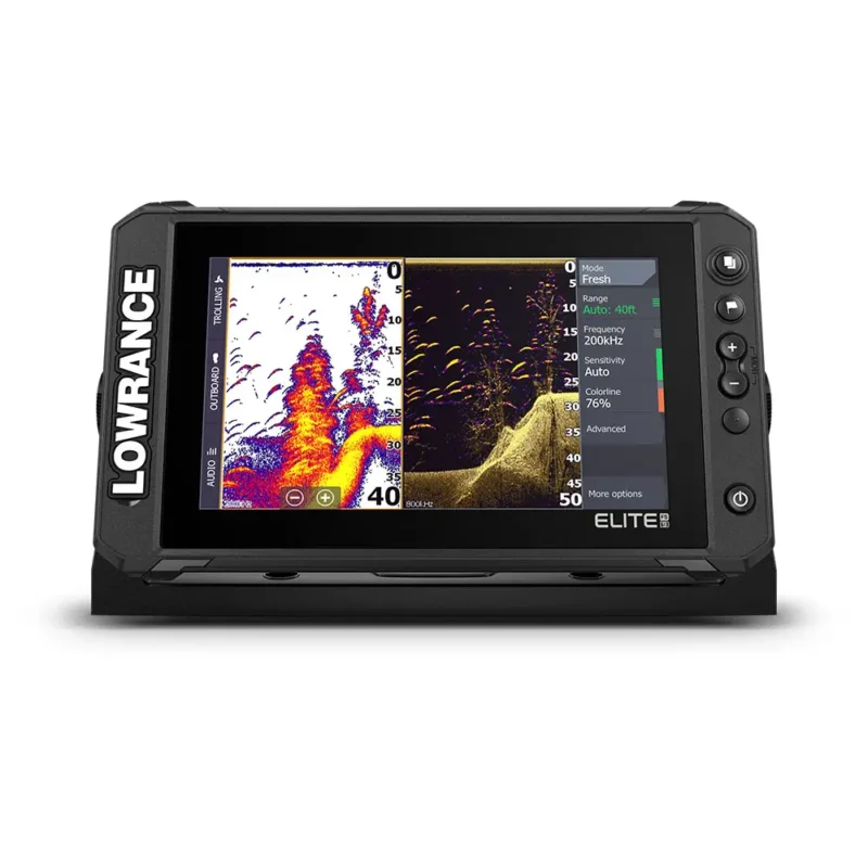
ELITE FS 9” + Active Imaging 3in 1
Original price was: $136,400.00.$135,000.00Current price is: $135,000.00. -
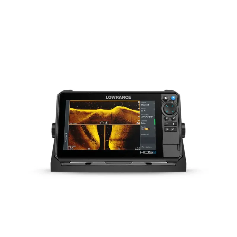
HDS PRO 9 ACTIVEIMAGING HD 3-IN-1 (ROW)
Original price was: $235,600.00.$234,500.00Current price is: $234,500.00. -
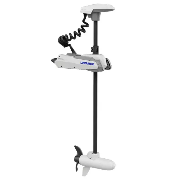
RECON SW 72″ LOWRANCE
Original price was: $470,000.00.$465,000.00Current price is: $465,000.00.